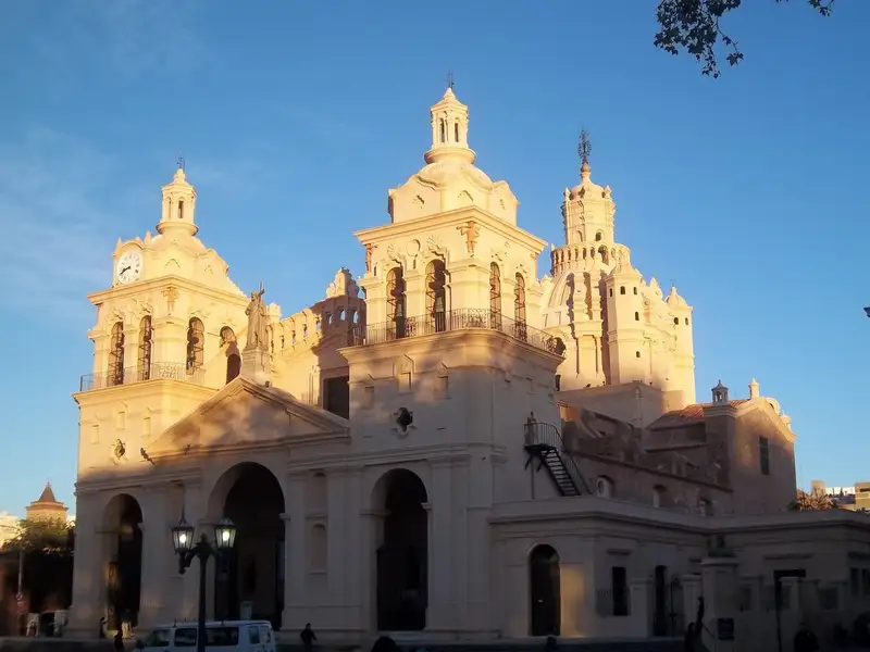
The Taninga Tunnels
The Taninga Tunnels represent one of the most significant road engineering projects in the mountain range of the Departamento Pocho. This stretch of Provincial Route 28, which crosses the Sierras de Pocho, serves as a connection point between the province of Córdoba and the valleys of La Rioja. The town of Taninga, whose growth was consolidated precisely because of the construction of this road, sits at the heart of this mountain landscape, where the road infrastructure integrates directly with the terrain.
Engineering and historical background
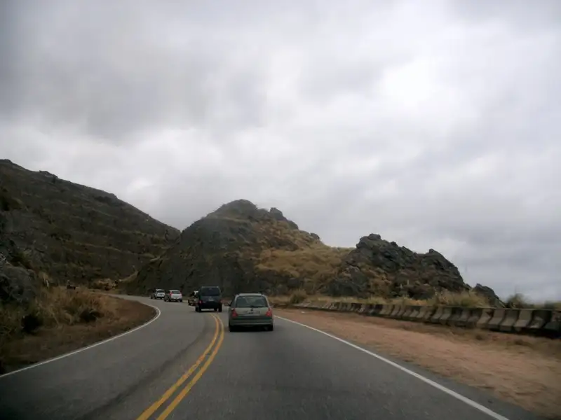
Construction of this route began in 1930 under the initiative of Juan Breggia, with the primary aim of improving travel times and connectivity between Córdoba and La Rioja. At the time, crossing the mountain ranges of western Córdoba involved a demanding journey along gravel roads and sharp bends. The original project included not only the opening of five tunnels through the mountain range, but also the installation of suspension bridges to navigate the uneven terrain. Although more direct routes such as Ruta Nacional 38 later reduced vehicle traffic through this sector, the road structure retains its relevance as a scenic route within the Parque Nacional Traslasierras.
The route through the Sierras de Pocho
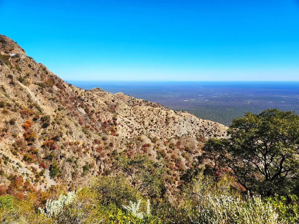
The journey is defined by a continuous transition between mountain landscapes and built structures. Along the road, five stone tunnels pierce the sierra, allowing passage through the rock mass without the need to skirt the highest summits. The current asphalt surface, which covers almost the entire route, allows for safer travel compared with the original road from the early twentieth century. The experience of driving through this sector is shaped by the rugged geography and the shifting vegetation typical of these sierras, where the road becomes an integral part of the natural surroundings.
Territorial context and landscape
This sector forms part of a broader ecosystem that includes the Parque Nacional Traslasierras. The significance of this road extends beyond its purely logistical function, as it constitutes a heritage element that defines the identity of the area. The route not only facilitates movement between provinces but also conveys the scale of the mountain range and the capacity for human intervention in difficult terrain. The presence of the tunnels and bridges at this specific geographic point offers a technical and natural perspective on what it means to inhabit and travel through the northern sierras of Córdoba.