Camino de las Altas Cumbres
The Camino de las Altas Cumbres is a key road infrastructure project for the province of Córdoba, designed to connect the Punilla and Traslasierra valleys with the provincial capital. This route is not merely a means of transport but a corridor that forms part of the Mercosur bioceanic route, linking Córdoba with Chile via the Paso de Aguas Negras in the Cordillera de los Andes. The journey is marked by a constant transition between human intervention and untouched nature, offering a direct connection to the heart of the Córdoba sierras.
History and evolution of the route
The history of the road falls into two clearly distinct phases that reflect the region’s technical evolution. The first version was promoted between 1915 and 1918 at the initiative of the priest José Gabriel del Rosario Brochero. This original alignment was far more complex and rugged, made up of more than 1,500 curves and crossed by springs and four suspension bridges that hampered transit but left a strong mark on the era.
Later, between 1964 and 1993, the construction of the new paved alignment was carried out. This engineering undertaking allowed for much more fluid and safe travel, establishing the road as a strategic communication route not only for local tourism but also for commerce between different Argentine provinces. The current route has two access options: one unpaved and one paved, allowing for different levels of exploration depending on the area.
Mountain landscape and biodiversity
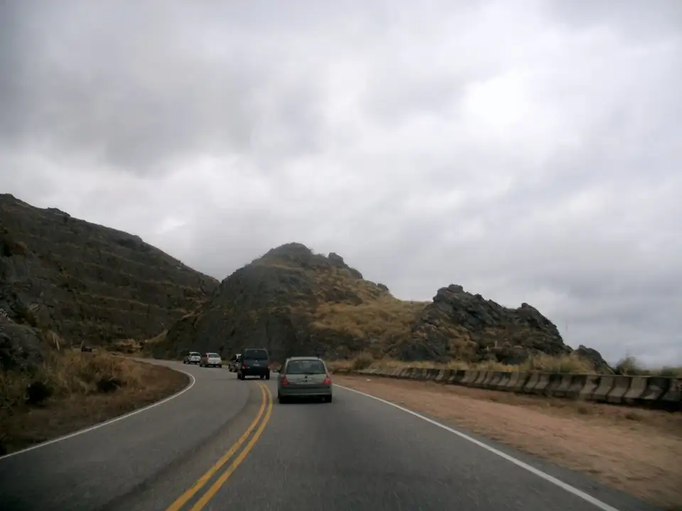
The ascent through the Altas Cumbres brings a dramatic shift in the natural surroundings. As elevation is gained, the landscape transforms, making it possible to see — from elevated vantage points — lakes San Roque and Los Molinos, as well as the Bosque Alegre Observatory. The road serves as an enclave for biodiversity, integrating areas of significant ecological value.
One of the most notable points is the Quebrada del Condorito National Park and Nature Reserve. This ecosystem presents itself as a true ecological island due to its geographic isolation. The reserve contains an immense gorge nearly 800 metres deep, with walls reaching 1,500 metres in height, carved through by the Condorito river. The area is home to emblematic species such as the Andean condor, the red fox, and the tabaquillo tree — elements that define the biological identity of the region.
The journey between valleys
Travelling the Altas Cumbres means crossing a territory where geography sets the pace of the journey. The alignment winds through the summits, offering a unique perspective on the transition between the valleys. Beyond its ecological importance, the road contains infrastructure landmarks such as some of the first high-mountain hotels in Argentina, reinforcing its character as an established mountain destination. The route allows travellers to grasp the territorial scale of Córdoba and the complexity of the sierra terrain that connects the province’s distinct regions.