Parque Municipal Llao Llao
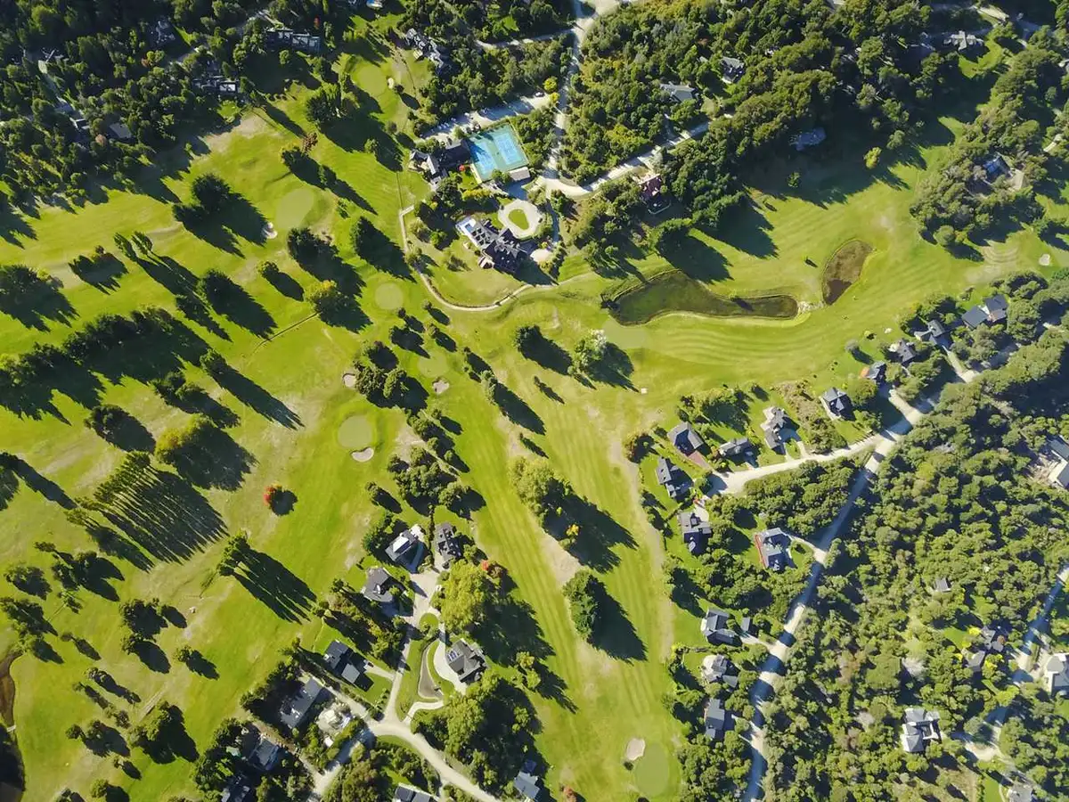
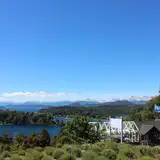
The Parque Municipal Llao Llao is one of the most accessible protected natural areas in San Carlos de Bariloche. With more than 1,200 hectares of native temperate forest, shorelines on Lake Nahuel Huapi and Lake Moreno, and viewpoints that frame some of the most recognizable landscapes in Andean Patagonia, the park functions simultaneously as the city’s green lung and as a hiking destination for those who prefer to explore nature on foot.
The area takes its name from the arrayán (Luma apiculata), a cinnamon-barked tree characteristic of the Patagonian forest that grows in notable density within the boundaries of the protected area. Alongside the arrayán, a mixed forest of coihues (Nothofagus dombeyi) and Andean cypresses (Austrocedrus chilensis) covers most of the terrain and creates a moist understory suited to the most representative birds of the Valdivian rainforest. The chucao and the huet-huet are near-constant presences on the more enclosed trails; the monito del monte — a small nocturnal marsupial that inhabits cavities in old-growth trunks — lives in the park’s oldest forest. In the bays and lake shores, chungungos (Patagonian river otters) frequent the least disturbed sections. Condors are regularly spotted soaring over the ridges of Cerro Llao Llao.
A trail network with varied character
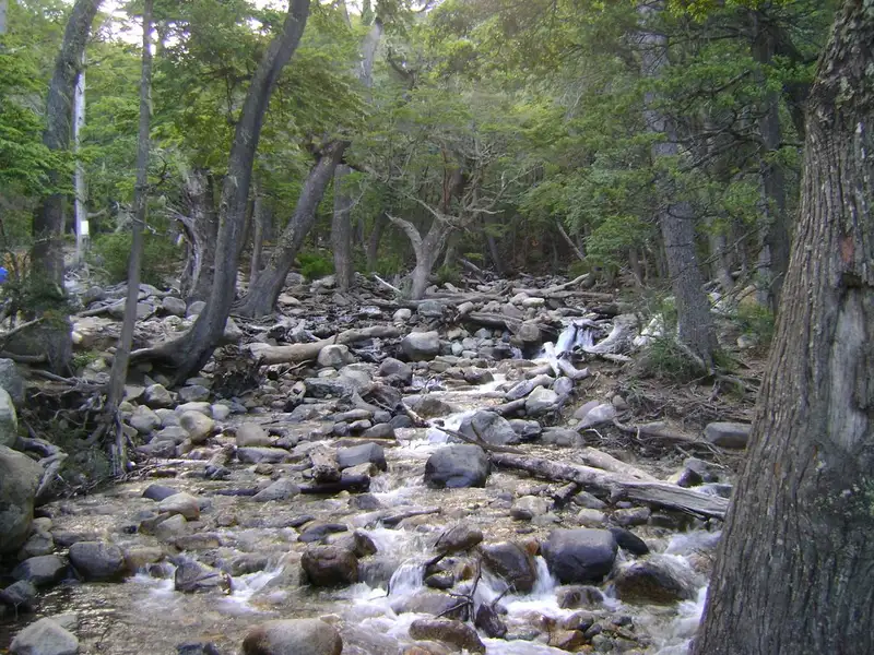
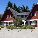
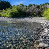
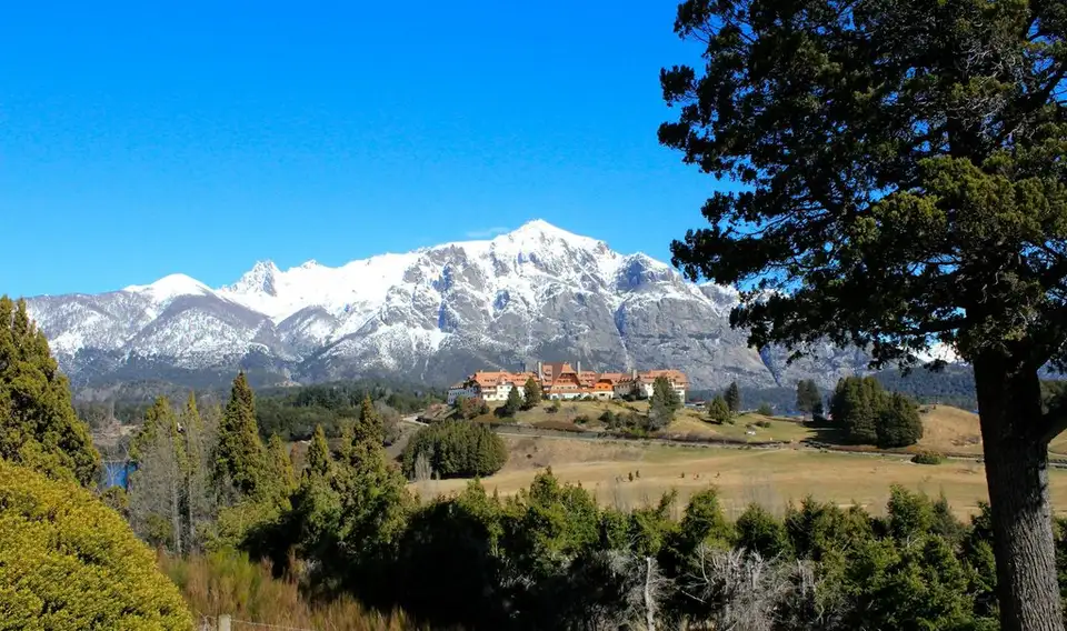
The range of routes spans from short walks to half-day hikes. The ascent of Cerro Llao Llao rewards the effort with panoramic views over the namesake peninsula and the historic Hotel Llao Llao, one of the region’s architectural landmarks. To the north, the trail to Puente Romano leads to a natural rock formation that resembles a stone arch, with Bahía Tacul as a backdrop; it is one of the most photographed spots in the park. The route to Lago Escondido and Bahía de los Troncos offers a more secluded alternative, where the silence of the forest settles naturally and groups are scarce outside high season.
The trail to the Bosque de Arrayanes and Lago Moreno connects distinct ecosystems along a route that makes the transition between the coastal hygrophilous forest and the drier interior forest visible. Bahía López, accessible from several points, serves as a base for kayaking and flat-bottomed boat excursions. Cerrito Negro is the lowest-difficulty option, suitable for families with children or for those looking for a first contact with the area. The Cementerio del Montañés, by contrast, is one of the corners with the greatest historical weight: a space linked to the first non-indigenous settlers of the area and now part of the park’s cultural itineraries.
Ten thousand years of human presence
The park’s territory is not exclusively natural: its human history is equally dense. Archaeological records document the presence of hunter-gatherers more than 10,000 years ago. In the 18th century, Jesuit missions operated on the edges of the lake system; in the 19th, Mapuche communities consolidated their presence in the region. The Tacul-Cheuque community currently inhabits ancestral lands within the park’s boundaries, making the protected area a space of active coexistence between environmental conservation and cultural continuity.
Management and access
The park is administered by the Ente Municipal Llao Llao, created by ordinance 1272-CM-2003. Its board includes representatives from the municipality, the City Council, and community organizations — a governance model that seeks to balance conservation with scientific and recreational use of the territory.
Visitor rules are strict: lighting fires, camping, bringing pets, or smoking within the area are all prohibited. Movement is restricted to designated trails. Photography is permitted.