Valle del Río Azul
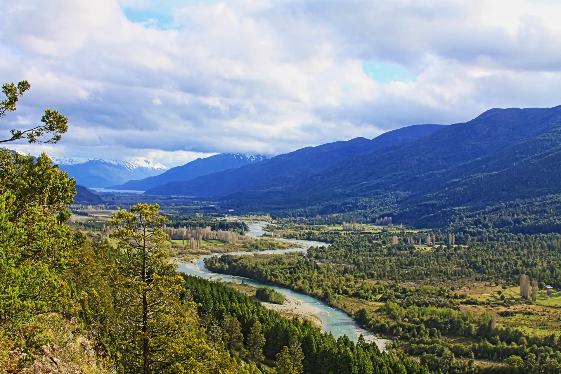
The Valle del Río Azul is one of the most significant natural environments northwest of El Bolsón. This corridor, which extends from its headwaters in the Cordillera de los Andes to its mouth on the northern shore of Lago Puelo, in the province of Chubut, runs through a deep glacially formed valley. Its importance lies not only in its length of approximately 40 kilometres, but in its role as an axis of biodiversity and landscape within the Patagonian region.
Geography and natural setting
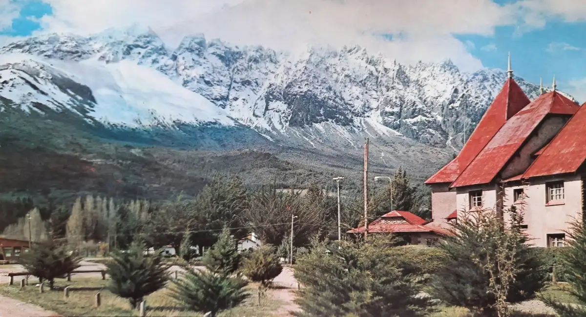
Travelling through this valley reveals a transition of landscapes marked by the presence of cypress forests, whose preservation is a central objective within the reserve. The Río Azul, with its clear, winding waters, crosses the terrain from the high Andean peaks toward the east. The configuration of the relief is defined by the interaction of geological elements that have shaped the valley over time, creating an ecosystem in which native vegetation is the main feature.
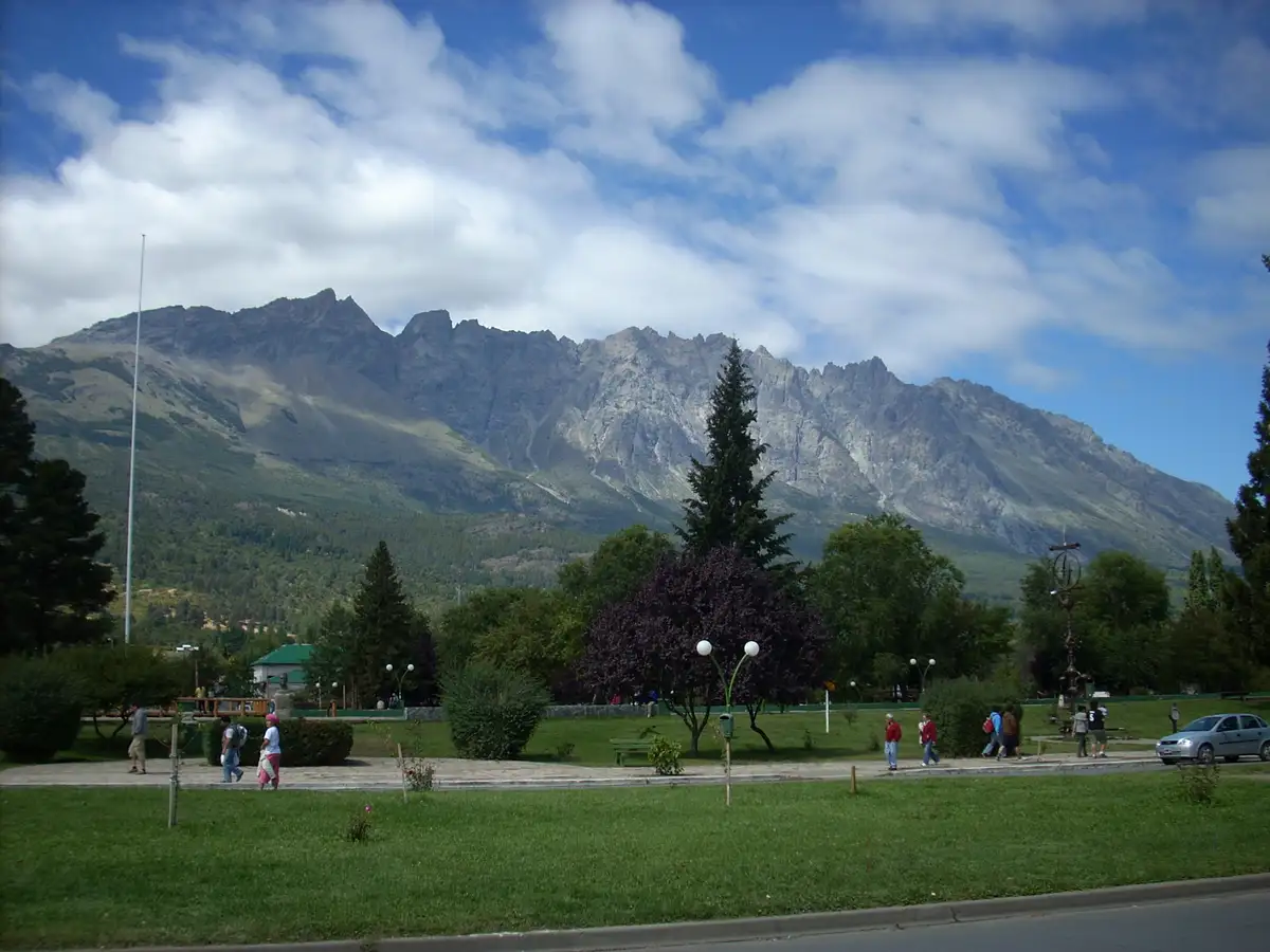
A few kilometres from the centre of El Bolsón, the landscape becomes more imposing. At certain points along the route, particularly in elevated areas, it is possible to reach viewpoints that offer a wide perspective of the valley. From these vantage points, one can take in the course of the river and its visual connection with other geographical features such as Cerro Tres Picos, Cordón Nevado to the west, and Loma del Medio to the east.
Territorial dynamics
The Río Azul system does not function in isolation; it integrates with other natural circuits in the area. The valley has the particular characteristic of joining the Mallín Ahogado circuit, allowing for a traverse of greater diversity and length. This territorial interconnection enables routes that span different types of microclimates and forest formations within a single journey.
The scale of the place is determined by its capacity to accommodate various natural and transit dynamics. The valley acts as a connector between the provinces of Río Negro and Chubut, integrating the Andean landscape with the river basins that feed Lago Puelo. The presence of this natural corridor is fundamental to understanding the structure of the territory at the far southwest of Patagonia, where glacial geography dictates the forms of the relief and the distribution of local flora.