Puerto Blest and Cascada de los Cántaros
Sailing the Brazo Blest
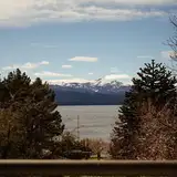
The excursion departs from Puerto Pañuelo on the Llao Llao peninsula, about 25 km from central Bariloche. A catamaran heads into the Brazo Blest — the longest arm of Lake Nahuel Huapi — on a roughly one-hour crossing through water that shifts from mirror green near the shore to deep blue at the center. Along the way, the boat passes Isla Centinela, where the remains of Francisco Pascasio Moreno lie at rest. Moreno was the naturalist and explorer who donated his private lands to the Argentine state and is considered the founding figure of the country’s national parks system.
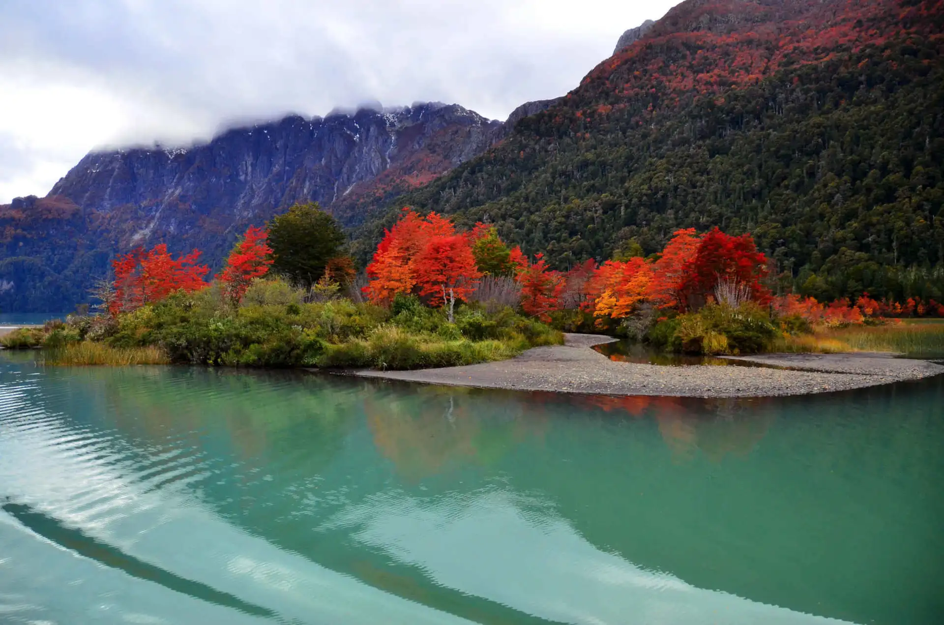
The arm ends at its western extreme in a landscape that resembles Norwegian fjords or the channels of Tierra del Fuego: mountains dropping sharply into the water, dense forest reaching the shoreline, and a quiet broken only by wind and birds. The topography explains itself once you learn that the Puerto Blest area receives roughly 4,500 mm of rainfall per year — exceptional even by Patagonian standards — sustaining one of the very few Valdivian rainforest enclaves on the Argentine side of the Andes.
Cascada de los Cántaros
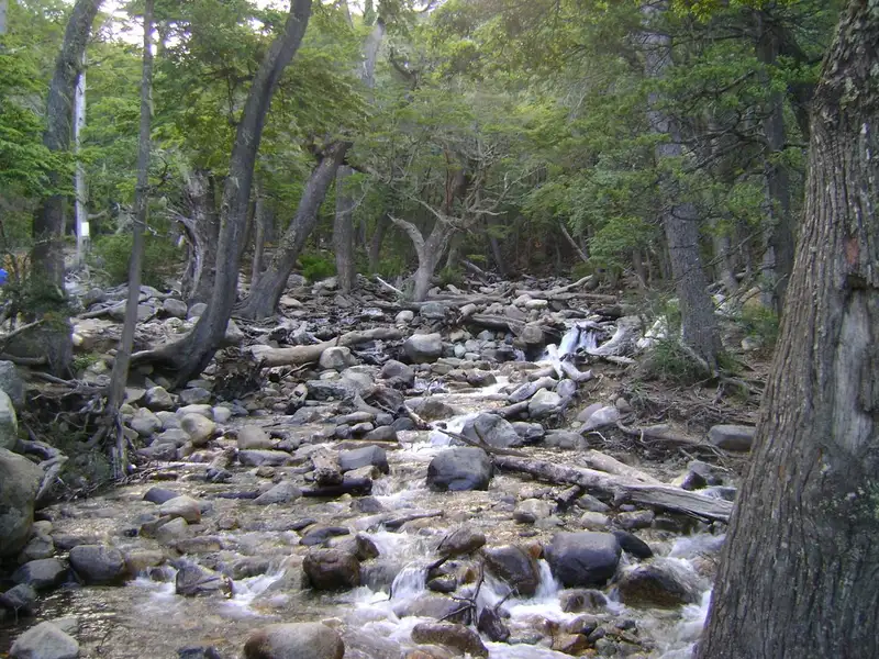
Before reaching Puerto Blest, the boat docks at the base of the waterfall. A wooden staircase trail — around 600 steps — climbs alongside the Los Cántaros river as it descends from Lago Cántaros, the highland basin where the cascade originates. The path has four covered viewpoint platforms and sheltered rest areas spaced along the ascent; as you gain elevation, the falls break into multiple cascades dropping through moss and fern.
Near the top, close to Lago Cántaros, a Fitzroya cupressoides — the alerce — stands that is more than 1,500 years old. Alerces are among the longest-lived trees on earth, and this specimen is one of the publicly accessible individuals within Nahuel Huapi National Park. The surrounding forest is temperate Valdivian rainforest: a high-humidity ecosystem with dense canopy, hanging lichens, coihue beeches, arrayán myrtle, and canelo trees that extends across the western Andes from Chile into this corner of Argentina.
An alternative to the stair route is a 3 km forest path that connects the waterfall to Puerto Blest on foot, passing through the same vegetation at a slower pace.
Puerto Blest
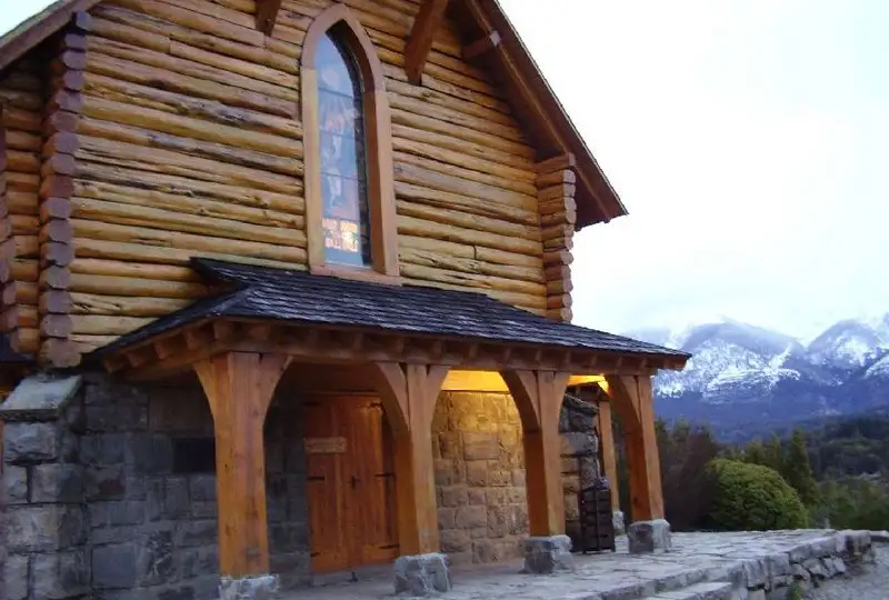
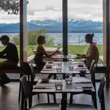
Puerto Blest is a historic enclave at the end of the arm that shares its name, accessible by boat and practically unreachable by road. It has basic accommodation and dining — the Blest Inn operates a lodge with a gourmet restaurant — and serves as the entry point to one of the most isolated sectors of the national park. From here, an optional extension leads to Lago Frías: a short 4 km bus ride through the forest brings visitors to a second dock, where another short boat trip introduces a lake of striking emerald-green water. That color comes from glacial sediment carried by snowmelt from Cerro Tronador, the extinct stratovolcano that marks the Argentine-Chilean border, distinguishing it visually from the park’s conventionally turquoise glacial lakes.
The full excursion from Bariloche takes around nine hours. Access requires payment of the Nahuel Huapi National Park entrance fee and Puerto Pañuelo port taxes, charged separately from the boat ticket.