Avenida 9 de Julio
The city’s central axis
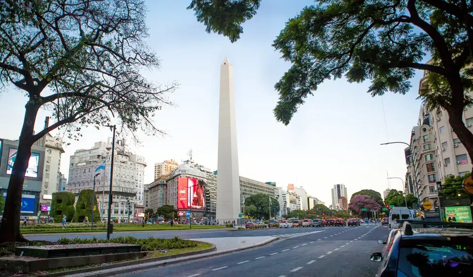
Avenida 9 de Julio forms the backbone of the center of the Autonomous City of Buenos Aires. Stretching approximately 3.4 kilometers, this artery is not merely a traffic corridor but the element that defines the monumental scale of the Argentine capital. Its route cuts through the heart of the city from Arroyo street at its northern end to Avenida San Juan in the south, serving as a vital connector between the main transport hubs and the country’s most important rail terminals.
Its name pays tribute to Argentina’s Independence Day, which took place on July 9, 1816, lending it a deep symbolic weight within the urban fabric. Walking along it, one perceives a structure designed to assert presence — the breadth of its lanes and road layout set a different rhythm from the narrower, more traditional streets of the surrounding neighborhoods.
Urban scale and architectural landmarks
Traversing this avenue offers a view of some of the most emblematic points in the city’s landscape. The Obelisco de Buenos Aires stands as the most recognizable reference point, positioned at a key intersection that anchors the visual identity of the city. Around it, the urban dynamic takes shape through an architecture that combines office buildings, commercial centers, and historic structures.
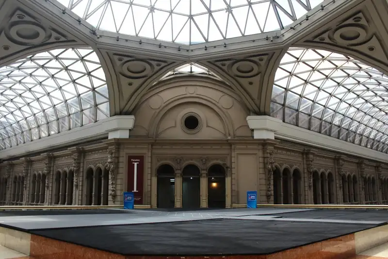
Nearby, the avenue connects with other landmarks of considerable heritage value. The Palacio Barolo, located on Avenida de Mayo in the Monserrat neighborhood, sits just a short distance from its path, integrating into the visual ensemble that defines this part of the center. The presence of subway stations and Metrobús lines running along the avenue maintains a constant connection with other strategic points such as Retiro and Plaza de Constitución, consolidating this space as the node where passenger flows from across the region converge.
The pulse of the city center
Traveling along 9 de Julio means taking in the intensity of metropolitan movement. The avenue functions as a great corridor linking rail terminals and transport centers, making visible how the flow of people across the capital is organized. Its layout reveals the transition between different zones of the city — from areas of high commercial density to connection points with more residential or historic neighborhoods.
The road structure, characterized by two-way traffic and multiple lanes, offers a unique perspective on the scale of Buenos Aires. This is not simply a space for circulation but a setting where the history of Argentine independence and the realities of modern urban transport occupy the same physical plane. The avenue remains the element that articulates the identity of the city center, serving as a meeting point between historical memory and the daily activity of one of Latin America’s most significant metropolises.