El Camino del Cuadrado
El Camino del Cuadrado is a mountain road that crosses the Sierras Chicas ridge in the province of Córdoba. Stretching 31 kilometres, this paved route connects the towns of Río Ceballos and La Falda, tracing a course through terrain defined by steep gradients and winding curves. Unlike Ruta Nacional 38, which serves as a more direct corridor, this road passes through the heart of the monte serrano, weaving together natural landscapes with the history of the region.
History and original alignment
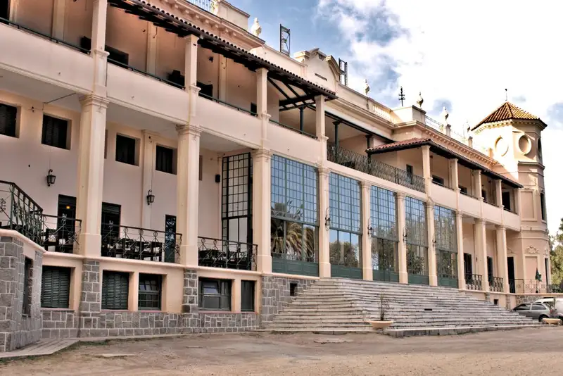
The significance of this route lies in its century-old origins. The current alignment follows an old dirt track laid out more than 120 years ago. In its earliest form, the road was little more than an extremely rough gravel track, built by labourers using basic tools such as pickaxes and shovels. Its primary purpose was to establish a connection between the city of Córdoba and the Hotel Eden, a landmark establishment on the outskirts of La Falda.
For decades the road was considered dangerous, demanding experienced drivers due to its precarious condition. It was eventually transformed by modern infrastructure projects. After an improvement and paving process that culminated with the inauguration of its definitive alignment in 2012, the road became a sealed and safe carriageway. This development allowed the route to retain much of its original trace, preserving the character of the historic path while improving access to the area.
The route through the Sierras Chicas
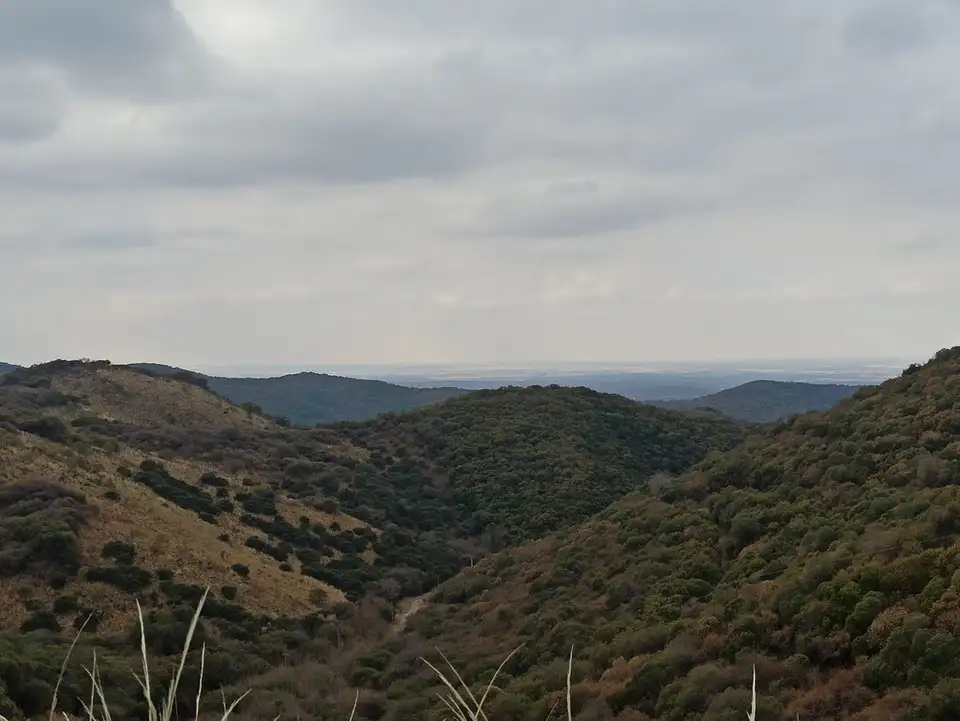
Travelling El Camino del Cuadrado means passing through a distinctive ecosystem. As a road that traverses the sierra relief, the landscape is composed of native vegetation and formations characteristic of the Sierras Chicas. The alignment is marked by constant changes in elevation and bends, which allow views of the local biodiversity and the terrain’s geography from different angles.
Access to the route is possible from various points depending on the direction of travel. From the eastern side, the entry connects with the E-53, which links Río Ceballos with Salsipuedes. From the western side, the route begins at the town of Valle Hermoso, following the road toward Vaquerías until it meets the junction with the main road. This layout makes the road a strategic alternative for connecting the northern end of the Valle de Punilla with the provincial capital.
Territorial context
This route is not only a transport corridor but a key element in the structure of the Córdoba landscape. By crossing this section of the sierras, it creates a direct link between different points of the valley, allowing traveller flows to be distributed differently from the usual congestion on the main roads. El Camino del Cuadrado represents an integration of modern infrastructure with the memory of the old trails that defined the province’s connectivity at the beginning of the twentieth century.